December 2, 2020
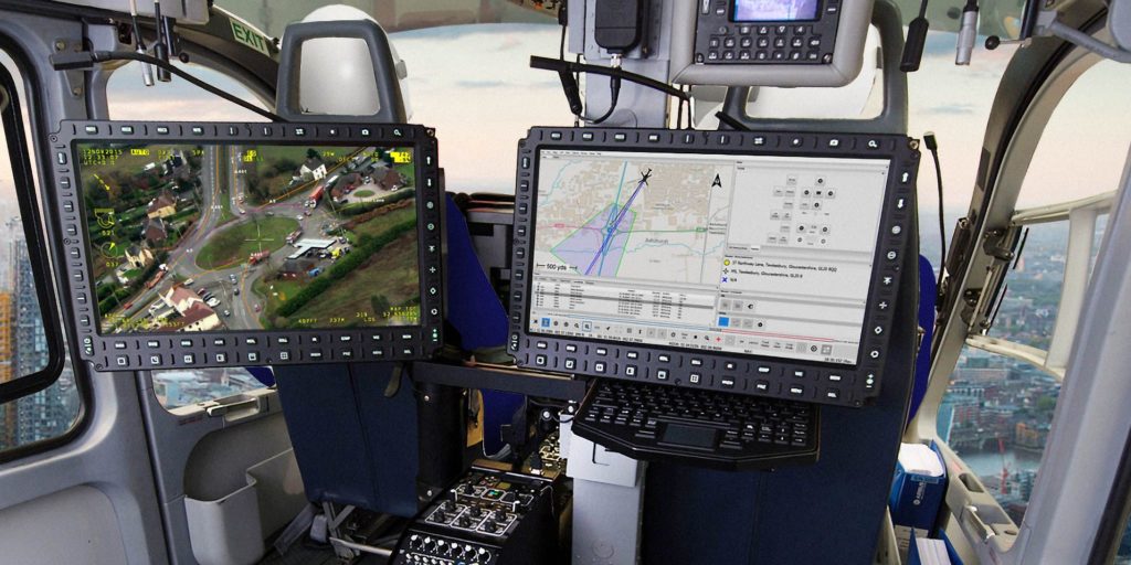
Digital Nova Scotia Member, CarteNav is a software company specializing in ISR (intelligence, surveillance, reconnaissance) mission software. By taking data from equipped sensors such as cameras or radars, they gather all of the information into a Common Operating Picture within the cabin or cockpit for their customers to make quick, informed decisions. Headquartered in Halifax, Nova Scotia, CarteNav has a global impact as they provide services in over 40 countries, with 95% of their business exported outside of Canada.
One thing that’s unique about our business is that it’s truly a global business. We work with a very niche product, but we work in every region of the world. We punch above our weight class despite competing against some enormous players in aerospace and defence
– Carl Daniels, Chief Operating Officer at CarteNav Solutions
From Halifax, Nova Scotia to Sydney, Australia
CarteNav began almost 20 years ago in 2002, The C4ISR technology firm started with research projects in the early stages of tracking ocean vessels. Their first contracts were within Australia and New Zealand, and they continue to do much of their work in the Oceanic and Asian regions today. The team works with a wide range of clients and organizations, from government agencies, coast guards, air, navy forces, and more. For instance, they provide services to firefighters in Australia that use aircraft to find and plan out their fire prevention measures. The team also goes beyond firefighting and search & rescue with animal conservation agencies, using their software to determine migration patterns and counting species from the sky.
Growing Alongside Technology
“One area or service that’s exciting is UAVs, unmanned aerial vehicles, that’s an emerging market for us,” says Carl. “They’re used commercially as well as by governments for surveillance. Today’s UAVs are highly capable of carrying payloads consisting of EO/IR and radar – that’s an area of growth for us that we’ve already made significant progress with.”
CarteNav is also excited about the use of AI and ML in their products and services. By gathering information on thousands of objects of interest during a particular flight or mission, they can quickly filter out what information is critical with AI and ML. “Maybe you are looking for a ship that’s smuggling drugs, and there might be thousands of other ships in the area. How do you quickly find the one of interest? AI can help solve those problems. By gathering images of each boat, it can quickly detect an object and compare it to a database of vessels. It can very quickly identify threats and then immediately alert the operator.”
Collaborating and Solving Global Problems
COVID-19 has had a tremendous impact on the CarteNav team. With all employees working remotely, it can become a challenge. “Despite COVID-19, something I’m particularly proud of is we recently missionized 3 Viking Air Twin Otters with Airborne Technologies out of Wiener Neustadt Airfield in Austria, which were all tested and supported remotely. The configuration and flight training were also all remote, which we’ve never done before to that degree,” said Carl.
Even with the pandemic limiting how the team can collaborate in person, CarteNav assists in solving real-world problems. From keeping drugs off the streets, detecting forest fires, oil spills, protecting endangered animals and more, the entire team works hard to support initiatives to keep everyone safe
Vist CarteNav